
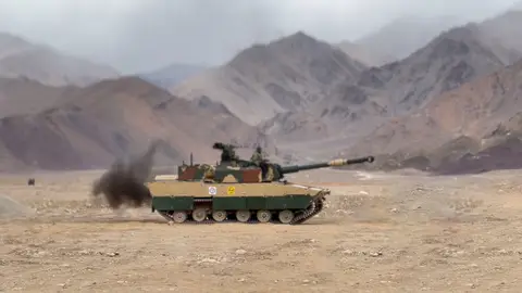
 DEFENCE INDUSTRYTata Zorawar light tank clears Army's L1 hurdle for Rs 20,000 crore contract
 DEFENCE INDUSTRYIndia Belgium Defence Deals Sealed As PM De Wever Visits Delhi
 DEFENCE INDUSTRYAero India 2027 Dates Confirmed for February 8 to 12 in Bengaluru
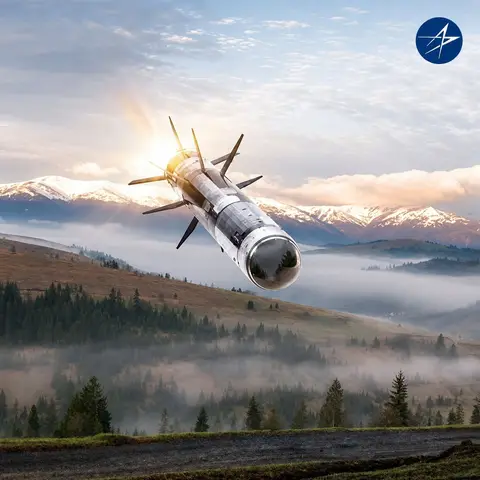 DEFENCE INDUSTRYJavelin missile co-production advances as Tata Advanced Systems signs Javelin Joint Venture pact
 DEFENCE INDUSTRYTata Lockheed Martin MTA push gets a lift from US envoy's Hyderabad visit
India's maritime security architecture is the layered system of forces, surveillance networks and coordinating bodies responsible for protecting the country's coastline, territorial waters and exclusive economic zone. It was substantially overhauled following the 26 November 2008 Mumbai terror attacks, in which the attackers travelled to the city by sea, exposing serious gaps in coastal surveillance and inter-agency coordination.
Key facts
- Three-tier system: coastal police (up to 12 nautical miles), Indian Coast Guard (12 to 200 nautical miles), Indian Navy (beyond 200 nautical miles)
- National Committee for Strengthening Maritime and Coastal Security (NCSMCS) set up after 26/11 to coordinate policy
- Sagar Prahari Bal, a dedicated Navy coastal security force, raised in March 2009
- Information Management and Analysis Centre (IMAC) and National Command Control Communication and Intelligence (NC3I) network provide coastal surveillance data fusion
- Information Fusion Centre – Indian Ocean Region (IFC-IOR), inaugurated in December 2018, extends maritime domain awareness regionally
Post-26/11 reforms
In the aftermath of the 2008 attacks, the government set up the National Committee for Strengthening Maritime and Coastal Security to oversee reform of coastal defences, and designated the Indian Navy as the overall authority for coastal security, with the Coast Guard responsible for coordinating between the Navy, state marine police and other central agencies. The Navy raised the Sagar Prahari Bal, a dedicated coastal security force operating fast interceptor boats to patrol harbours and near-shore waters. State governments were tasked with strengthening marine police units, registering and issuing biometric identity cards to fishermen, and building coastal police stations, jetties and check-posts along vulnerable stretches of coastline.
Surveillance and coordination network
The Information Management and Analysis Centre (IMAC), jointly run by the Navy and Coast Guard near Delhi, serves as the national nodal centre for fusing maritime surveillance data from coastal radars, the Automatic Identification System, satellite feeds and other sources to build a real-time picture of shipping activity around India. It anchors the National Command Control Communication and Intelligence (NC3I) network, which links coastal radar stations, Navy and Coast Guard formations, and state marine police control rooms. A chain of static coastal radar stations, progressively extended along the mainland coast and to the Andaman and Nicobar and Lakshadweep islands, feeds this network and has also been extended through cooperation agreements with Indian Ocean neighbours such as Sri Lanka, Mauritius and Seychelles.
Regional cooperation
India has extended its maritime domain awareness beyond its own waters through the Information Fusion Centre – Indian Ocean Region (IFC-IOR), established by the Navy at Gurugram and inaugurated in December 2018. The centre hosts international liaison officers from partner navies and maintains working-level information-sharing links with dozens of countries and regional maritime security centres, reflecting a shift from a purely national coastal-defence posture toward cooperative, region-wide awareness of shipping and security threats across the Indian Ocean.
Ongoing challenges
Despite the extensive reforms since 2008, India's maritime security establishment continues to face challenges including the large number of fishing vessels that are difficult to track individually, uneven capacity among coastal states to fund and staff marine police units, and the sheer scale of the coastline and island territories that must be monitored. Continued investment in coastal radar coverage, Coast Guard fleet expansion and inter-agency information sharing remains central to closing these gaps.